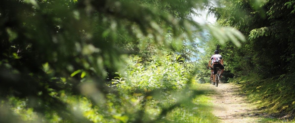
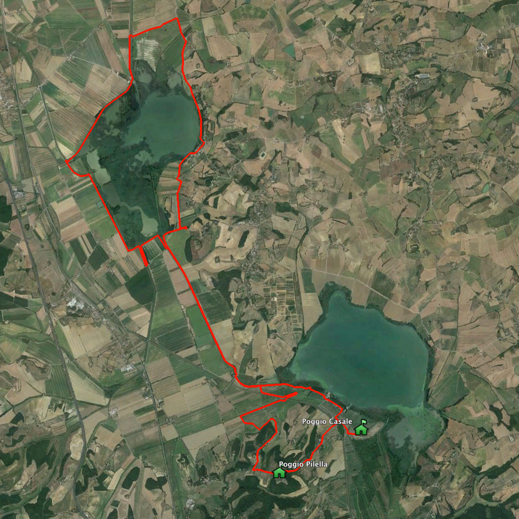
Montepulciano Lake
- Surface: path, dirt road
- Lenght: 25 Km
- Difficulty: easy
- Height difference: slight
- Map
You start from Chiusi Lake where you can take the "Pista ciclabile della Bonifica" following the directions up to Montepulciano Lake. Once arrived at the Montepulciano Lake Center, you must cross the channel to the second metal bridge, then take a path on your right, just close to the small hills. You keep on a dirt road that becomes paved up to Mugnanesi village. A rapid descent near the edge of the Lake, then a path through reeds lapped by gentle water. The itinerary continues on a field track. After having admired the church on your left, then you will reconnect with the same path "Pista ciclabile della Bonifica".
Leave the path when you meet the small dam that blocks the water of Chiusi Lake. After walking alongside the railroad you will see Gragnano channel.If the level of the water is high you can cross the bridge (done in the first leg) and take the variant ford. Follow the path along the canal and through the field to Poggio Pilella.
